
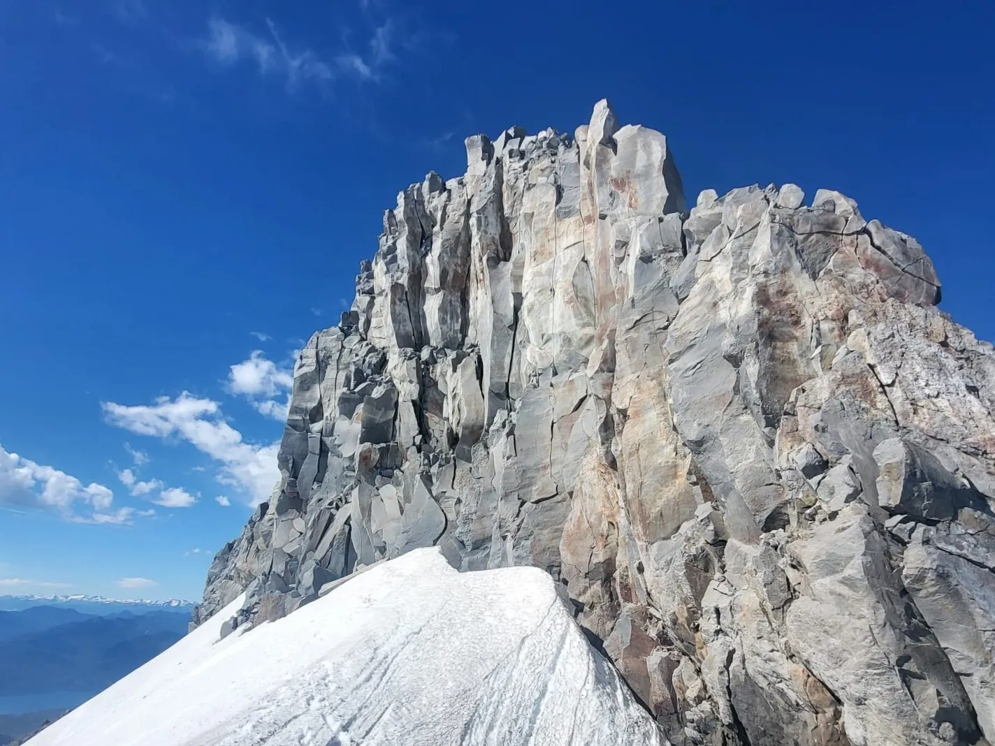
Calbuco is that volcano in Northern Patagonia that erupted so spectacularly for several days back in 2015. Today, it is calm again and open for ascents. The difficulty builds gradually as you climb: if you want an easy walk with views of frozen lava flows, there are several viewpoints near the beginning of the park. If you want to reach the summit, you are in for a night in an excellent refugio and a lively climb to the crater and the rocky highest point.
I had come here several times just to walk around, and twice with the intention of reaching the summit. The first attempt did not work out because we had not brought a rope, and without one, the safety of the final section felt questionable. Recently, we returned with a rope, and this time everything went smoothly: we reached both the crater and the summit pyramid of Calbuco.
The Route in Numbers
Distance and elevation: 21 km out and back, 1,600 m of elevation gain, maximum altitude around 2,015 m
Description: An ascent of Calbuco volcano from the Río Blanco side. It takes about eight hours to go up and slightly less to come down. The best option is to walk to the refugio on the first day, spend the night there, climb to the summit the next morning, and then descend all the way back. The trail is steep in many sections, and there is a rocky part before the summit. The route begins in rainforest, then passes through meadows with shrubs, and eventually reaches volcanic scree closer to the top.
Difficulty and Preparation
The slopes of Calbuco are a great place for trekking at almost any level. The difficulty increases gradually as you climb. If you want an easy walk with views of frozen lava flows, there are several viewpoints near the beginning of the park. If you want to reach the summit, you get a night in a cozy mountain hut and an impressive crater at the end of the route.
To climb to the summit, you need to be in good physical shape. Even though the elevation gain does not look extreme on paper — 1,600 meters — the trail itself is steep in many places. In the forest, you often have to step up almost to hip height, and on the way down, you end up jumping through those same sections. So this is not a relaxed cardio walk. It is a real strength workout for your legs.
For footwear, definitely choose hiking boots rather than sneakers. Bring all clothing layers regardless of the season, because at the top it is almost always windy and cold. As for equipment, you will need a rope, crampons, and an ice axe if you go during a season when there is still snow near the summit. And, of course, trekking poles will make both the ascent and descent much more comfortable.
Below, I am sharing a route from a Wikiloc user, and then I will describe our own climb in detail.
Powered byWikilocOpen route on Wikiloc
The Route to the Refugio
The trail passes through Llanquihue National Reserve. The parking area is about 40–50 minutes by car from Puerto Montt. There are also local buses that stop about 15 minutes on foot from the parking spot that you can reach by car.
The parking area is right on the riverbank, and the trail starts there too. It is better to cross to the other side at the first convenient spot. There are trails on both banks, but you will have to cross the river anyway, and farther from the parking area it becomes more difficult.
You can immediately see a tall waterfall — some people come only to look at it. The trail into the park dives into the forest shortly before reaching the waterfall. Then there is a short climb up steps to the CONAF checkpoint. You will have to pause here to fill out the paperwork and listen to the park staff’s instructions. Entrance to the park and accommodation in the refugio are free; you only need to register.
In summer, the park entrance is officially open until 4:00 p.m., but if you are heading to the refugio to climb the volcano the next morning, they will most likely let you in later. At least, they let us through both times. The climb to the hut takes two to three hours, and in summer we really did not want to do it in the heat of the day. So we calmly started at 6 p.m. and reached the refugio right around sunset. When choosing your own start time, though, consider the season, daylight hours, and your own walking pace.
After the CONAF checkpoint, the trail continues through the forest but soon opens into the river valley. The landscape here is mesmerizing: water flows through intricate canyons carved into solidified lava. It feels like a strange water park from somewhere in the Jurassic period.
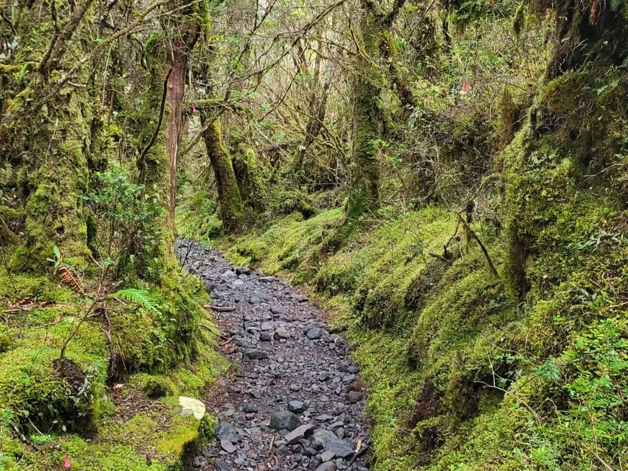
Then the route returns to the Valdivian rainforest and stays there all the way to the refugio. At first, it feels like a pleasant park trail, but as you gain elevation, it becomes steeper and wilder. At one point, I found myself on a small wooden bridge thrown across a steep stream. It was hidden among powerful alerce trunks, mosses, ferns, and vines. Light played strangely in the drops of water, while invisible birds chirped in every possible tone.
I can never walk through these rainforests without getting stuck somewhere along the trail, staring at the unique vegetation.
Then the natural steps begin — almost hip-high — and the contemplative mood turns athletic. As you grab roots and branches, trying not to slide into the mud, the elevation gain comes quickly. And then, suddenly, the red roof of the hut appears between the trees.
The Refugio
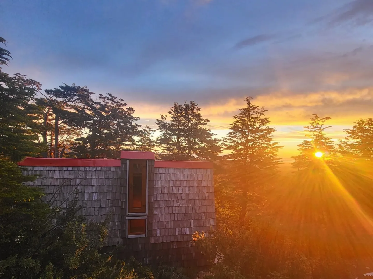
The refugio on Calbuco is a new, clean little cabin covered in wooden shingles in the traditional style of southern Chile. It is a project by Los16, an organization that builds these shelters in the mountains of different regions of the country.
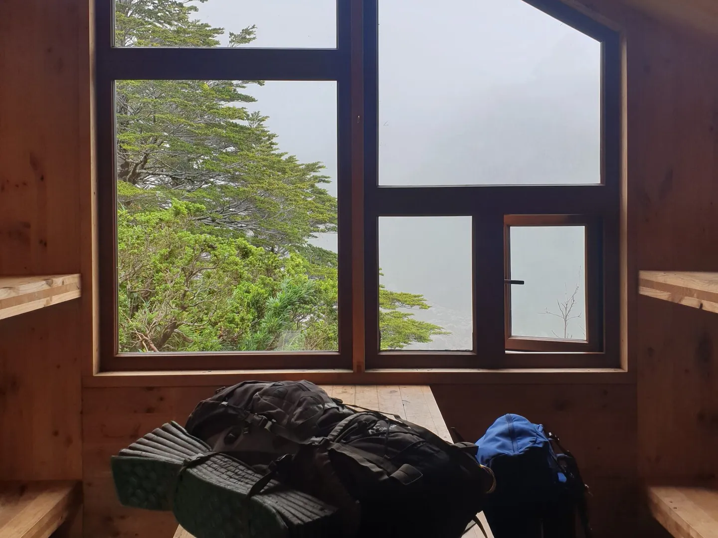
Inside, there are eight sleeping places arranged in two levels, a table with benches, and a panoramic window overlooking the gorge. There is no heating inside, but the construction is solid and there are no gaps where cold air could get in.
There is water near the hut, but reaching it is not that simple. You need to take a few steps in the direction of the climb to the volcano and turn right when you see a small trail descending into a large gorge. What happens next depends on the season: sometimes you can find little streams of water in the almost dry riverbed nearby; sometimes you need to climb up to the vegetation hanging from the cliff, where water drips down, and collect it there.
From the Refugio to the Summit
At sunrise, it is time to head toward the summit, leaving in the refugio anything you will not need higher up. It really is better to start early: in summer, to avoid the heat in the exposed sections; in winter, to fit the climb into the shorter daylight hours.
Almost immediately, you have to scramble up a steep rocky section that makes you think fondly of the forest before the refugio. Nothing impassable, but the beginning of the trail is athletic — and so is the rest of it.
The forest gives way to low shrubs and grasses. The trail is very beautiful here: the views are already opening up, but the vegetation has not yet disappeared.
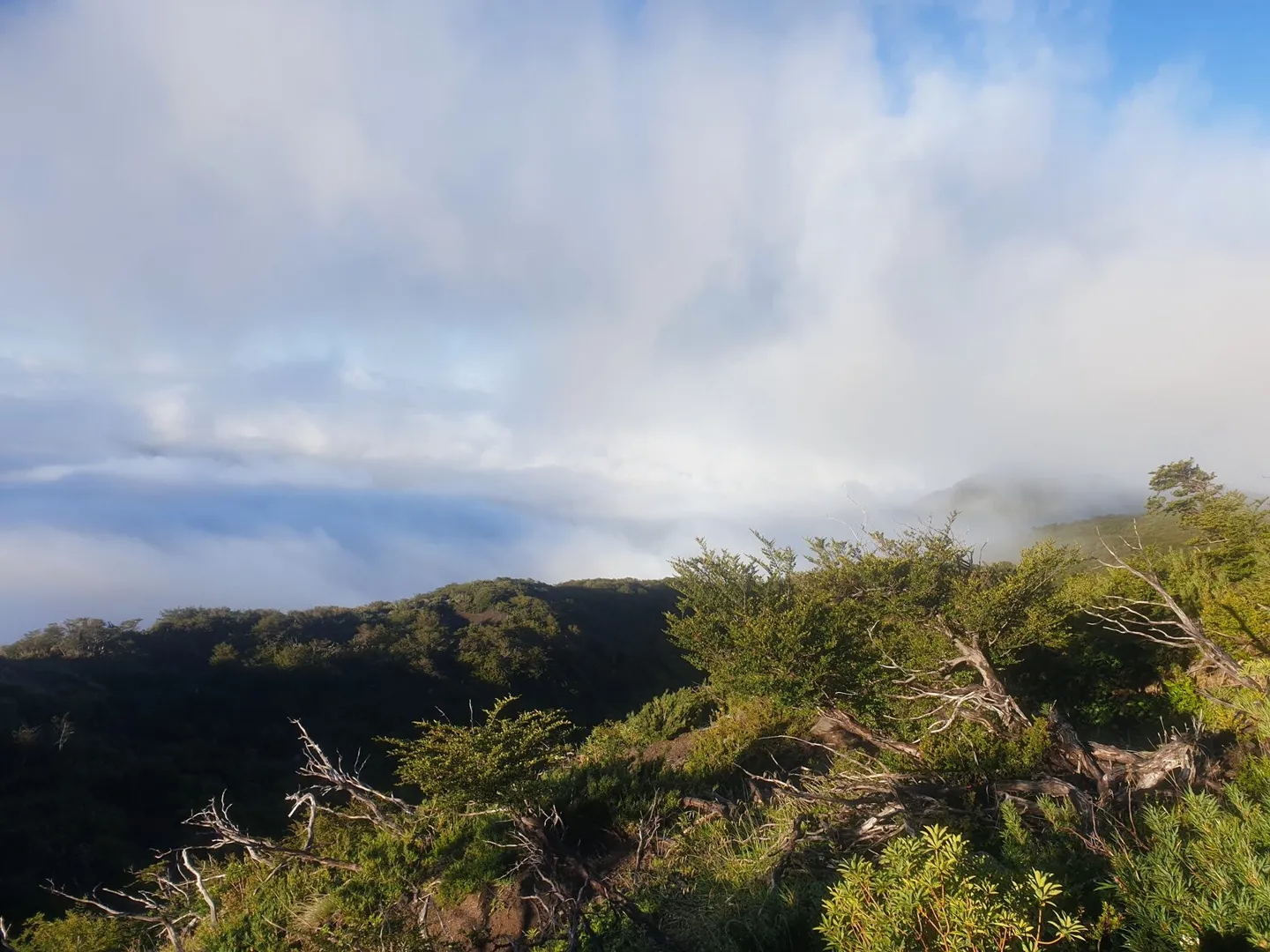
Gradually, the greenery underfoot fades away and the classic volcanic landscape begins: a desert of black scoria and porous rocks. The trail snakes up a monotonous slope. It is well marked and does not disappear from sight, which often happens in this kind of terrain.
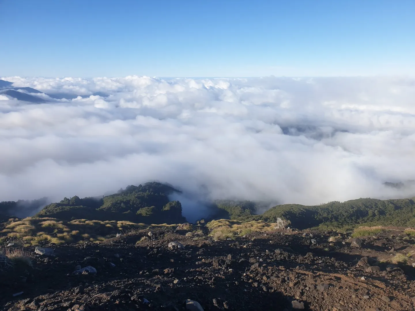
Slowly, a wall of rock comes closer, and you begin to wonder what exactly you are supposed to do with it. From a distance, it usually looks as if the rocks form steps, and climbing straight up should not be too difficult.
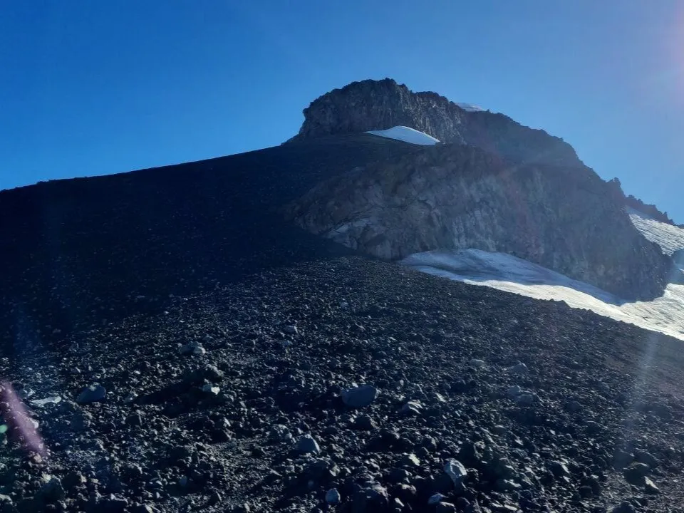
But then the trail runs into the rock wall, your eyes go upward, and they cannot find a truly simple line for the climb.
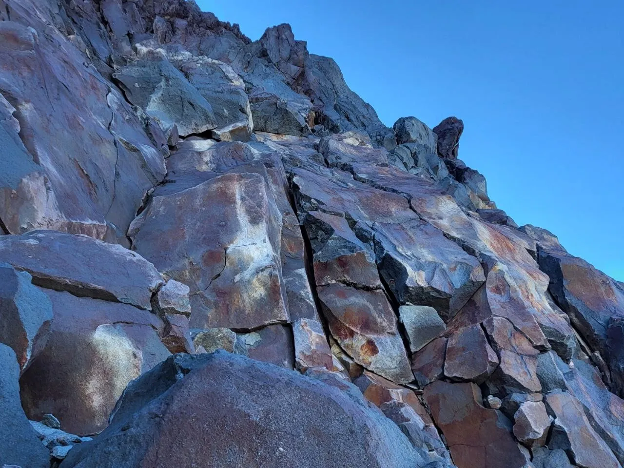
The first time, this is where we stopped. We paced around below, looking for a possible line, climbed a little, touched the rock wall, and eventually decided it was not worth the risk. Better to return another time with a rope.
In climbing terms, the wall is not difficult. But while getting up without protection may still be possible, descending without a rope is not something you really want to do. Someone with some climbing experience will not have much trouble getting up here, but without any experience it will feel very uncomfortable and unsafe.
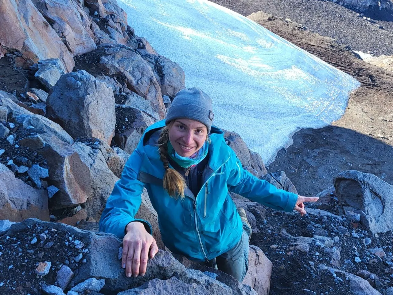
The second time, already with a rope, we walked along the rock wall again and decided that we would descend this way with the rope, but climb up by another route.
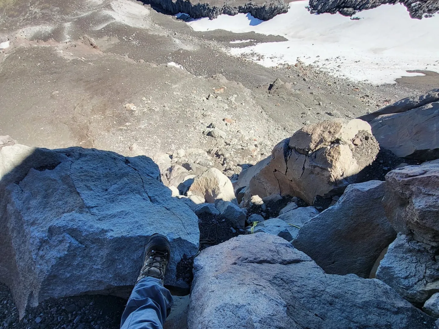
In the photo below, you can see the view from above. When descending from the summit along the trail, it is easy to find the metal ring where you can pass the rope through. There is another anchor in the middle of the descent. Our rope was almost long enough to reach the bottom. The lower part is already easier, and we managed it without protection.
But let’s return to the ascent. The second option goes through a couloir that bypasses this rock wall. The trail is not as easy to read there, but the route itself is clear. From the rock wall, you need to traverse to the right, reach the couloir, and then climb straight up toward the summit.
The traverse crosses quite a steep slope and can be icy in places, so you need to be careful and choose your line thoughtfully.
Snow stays in the couloir for a long time, and for most months of the year you will need crampons here. On our second attempt, we had them with us, so we passed this section comfortably, leaving a zigzag line behind us.
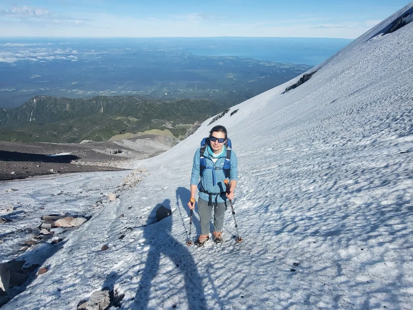
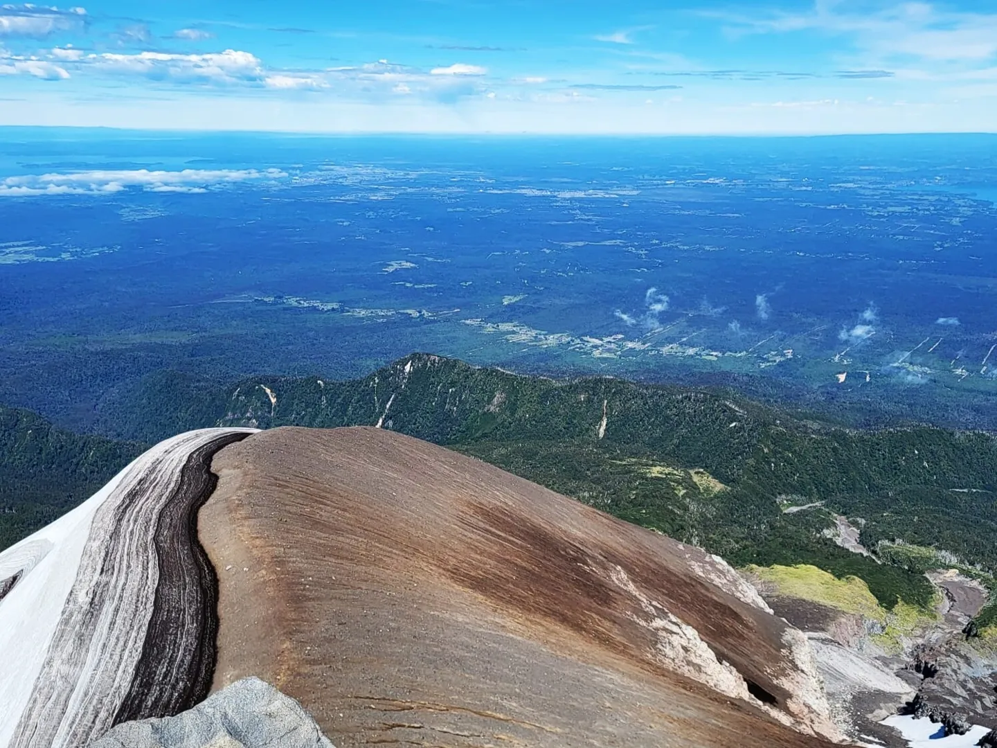
The climb through the snowy couloir takes about half an hour and brings you to the crater and the summit area. Here, you can walk along the crater rim, look at the surrounding lakes, towns, and other volcanoes, and, in good weather, have a snack with this incredible view.
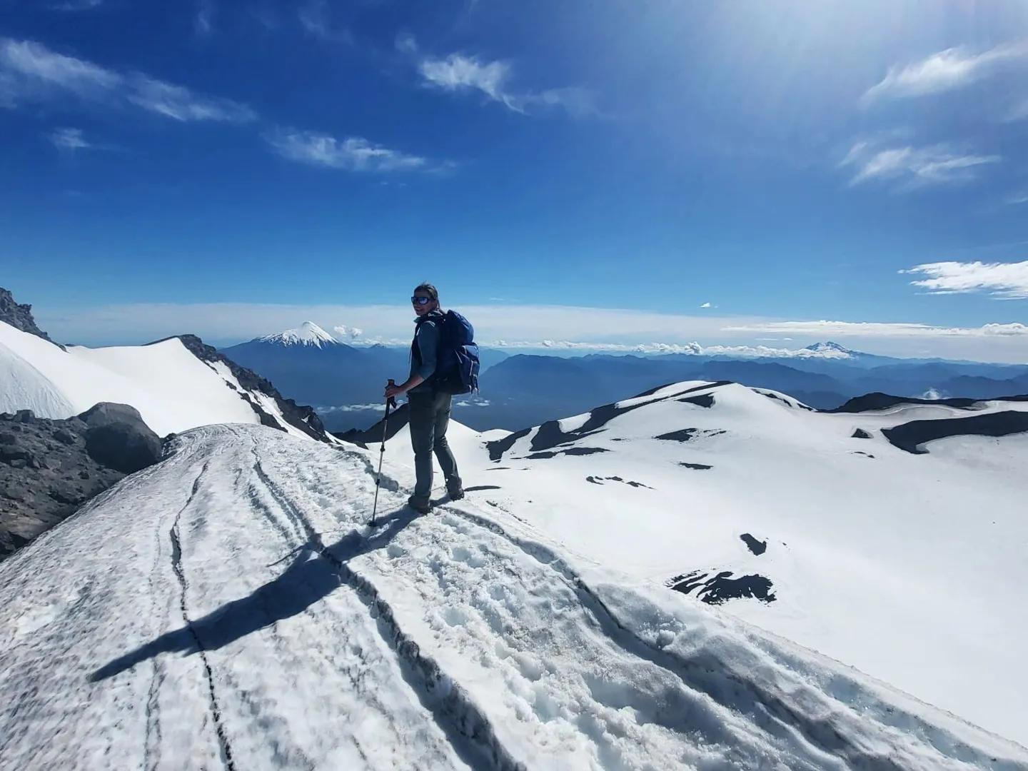
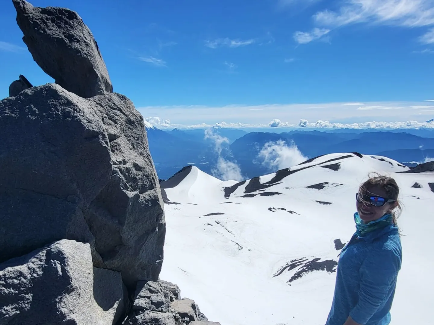
But this is still not the true summit. The highest point of the mountain is on the “pyramid” — a small rock sticking out of the volcanic scree. That is the one you need to climb if you want the right to say that you have reached the top of Calbuco.
If you came up from the side of the rock wall, the trail leads you to the side of the pyramid that is convenient for climbing. If you came from the couloir, it is easier to go around it on the right and climb up from a comfortable spot.
Where to Go After the Climb
If you start early and move quickly, after the descent you may still have time to stop by some body of water and wash off the fatigue in cool water.
The most obvious place is Lago Chapo.
There is also a secret spot shown to us by a local man we met at the refugio. It is literally under a bridge, but from the road it is hard to notice how great it is. There are narrow, deep canyons on the river, small waterfalls, rocks you can jump from, and even a sandy beach.
After our successful summit climb, we bought beer and ice cream for recovery and went to check the place recommended by the local. We ended up staying there until the end of the day, alternating between diving into the river and warming up on the hot rocks.